Mon, Nov 13th 2023
Up to 20 centimetres of fresh snow were measured locally in the mountains on Sunday morning. There were even a few flakes in some places in the lowlands.
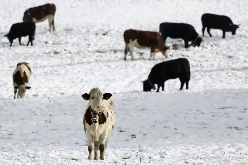
On Sunday morning, it snowed mainly in the Bern region and at the southern foot of the Jura from Lake Biel to Aarau down to low altitudes, as the Federal Office of Meteorology and Climatology (MeteoSwiss) wrote at the request of Keystone-SDA. Several centimetres are likely to have fallen in places this morning.
However, the snow line will rise from 600 to 800 meters to 1500 to 1800 meters during the course of the day, and even higher in some places. This means that the snow will not remain at low altitudes for long.
Intense precipitation is expected in many places in the mountains in the coming days, with the snow line continuing to rise. Heavy continuous rain is expected on the northern slopes of the Alps, in Valais and in the western Jura until Wednesday. The weather service therefore issued a level 3 warning on Saturday.
The avalanche danger level was 4 out of 5 for the region of Monthey, Martigny and other parts of Lower Valais.
On Sunday morning, it snowed right down to the lowlands in Switzerland, for example in the Bern region. In the mountains, the road conditions are wintry across the board, as reported by weather services on Sunday.

Slippery snow must be expected in these areas, SRF Meteo wrote on X (formerly Twitter). At the start of the day, the snow line was still at 600 to 800 meters, rising to 1500 to 1800 meters as the day progressed, according to the weather services.
The Federal Office of Meteorology and Climatology (MeteoSwiss) wrote on its website that heavy continuous rain is expected on the northern slopes of the Alps, in Valais and in the western Jura until Wednesday.
©Keystone/SDA